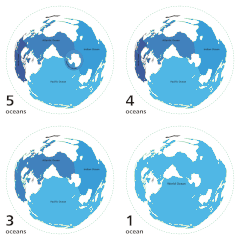
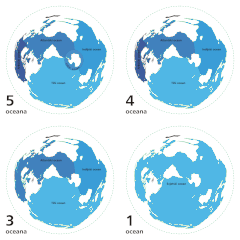
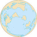
Faili:World ocean map.gif
World_ocean_map.gif (piseli 500 × 500, saizi ya faili: 68 KB, aina ya MIME: image/gif, looped, 4 frames, 10 s)
Historia ya faili
Bonyeza tarehe/saa kuona faili kama ilivyoonekana wakati huo.
| Tarehe/Saa | Picha ndogo | Vipimo | Mtumiaji | Maelezo | |
|---|---|---|---|---|---|
| sasa hivi | 04:12, 8 Aprili 2007 |  | 500 × 500 (68 KB) | Quizatz Haderach | Animated world ocean map! |
Matumizi ya faili
Ukurasa huu umeunganishwa na faili hili:
Matumizi ya faili ulimwenguni
Wiki nyingine hutumia faili hizi:
- Matumizi kwa ab.wikipedia.org
- Matumizi kwa am.wikipedia.org
- Matumizi kwa ang.wikipedia.org
- Matumizi kwa arc.wikipedia.org
- Matumizi kwa ar.wikipedia.org
- Matumizi kwa as.wikipedia.org
- Matumizi kwa ban.wikipedia.org
- Matumizi kwa ba.wikipedia.org
- Matumizi kwa bcl.wikipedia.org
- Matumizi kwa bg.wikipedia.org
- Matumizi kwa bi.wikipedia.org
- Matumizi kwa bjn.wikipedia.org
- Matumizi kwa blk.wikipedia.org
- Matumizi kwa bn.wikipedia.org
- Matumizi kwa br.wikipedia.org
- Matumizi kwa bs.wikipedia.org
- Matumizi kwa bxr.wikipedia.org
- Matumizi kwa ca.wikipedia.org
- Matumizi kwa ce.wikipedia.org
- Matumizi kwa ch.wikipedia.org
- Matumizi kwa crh.wikipedia.org
- Matumizi kwa da.wikipedia.org
- Matumizi kwa de.wiktionary.org
- Matumizi kwa diq.wikipedia.org
- Matumizi kwa el.wikipedia.org
- Matumizi kwa en.wikipedia.org
Tazama matumizi zaidi ya kimataifa ya faili hii.


