
Faili:France location map-Regions and departements-2016.svg

Size of this PNG preview of this SVG file: piseli 624 × 600. Ukubwa zingine: piseli 250 × 240 | piseli 499 × 480 | piseli 799 × 768 | piseli 1,066 × 1,024 | piseli 2,131 × 2,048 | piseli 2,000 × 1,922.
Faili halisi (faili la SVG, husemwa kuwa piseli 2,000 × 1,922, saizi ya faili: 551 KB)
| Faili hili linatoka Wikimedia Commons. Maelezo yapo kule kwenye ukurasa wake wa maelezo unaonekana hapo chini.
|
Muhtasari
| Maelezo |
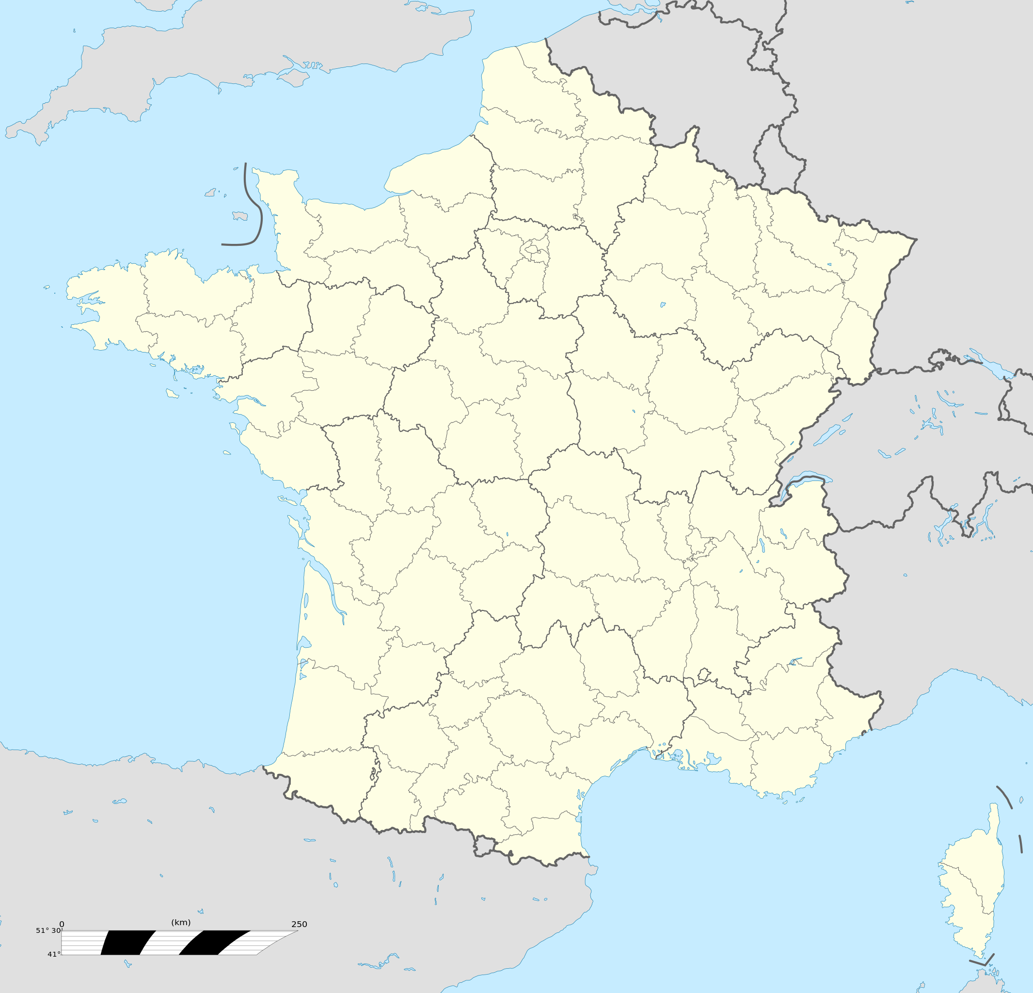
Français : Carte administrative vierge de la France destinée à la géolocalisation, avec régions et départements distingués.
Échelle approximative : 1:3 000 000
English: Blank administrative map of France for geo-location purpose, with regions and departements distinguished.
Approximate scale : 1:3,000,000
Projection équirectangulaire, données WGS84
Limites géographiques de la carte :
|
| Tarehe | |
| Chanzo |
This file was derived from: France location map-Regions and departements-2015.svg |
| Mwandishi | Superbenjamin |
| Matoleo mengine |
|
| SVG genesis | This locator map was created with Adobe Illustrator, and with Inkscape. This locator map uses embedded text/digits. |

Hatimiliki
I, the copyright holder of this work, hereby publish it under the following license:
This file is licensed under the Creative Commons Attribution-Share Alike 4.0 International license.
- Uko huru:
- kushiriki – kunakili na kusambaza kazi hiyo
- kwa remix – kurekebisha kazi
- Chini ya masharti yafuatayo:
- sifa – Ni lazima utoe mkopo unaofaa, utoe kiungo cha leseni, na uonyeshe ikiwa mabadiliko yalifanywa. Unaweza kufanya hivyo kwa njia yoyote inayofaa, lakini si kwa njia yoyote inayopendekeza mtoa leseni akuidhinishe wewe au matumizi yako.
Historia ya faili
Bonyeza tarehe/saa kuona faili kama ilivyoonekana wakati huo.
| Tarehe/Saa | Picha ndogo | Vipimo | Mtumiaji | Maelezo | |
|---|---|---|---|---|---|
| sasa hivi | 13:46, 19 Oktoba 2017 | | 2,000 × 1,922 (551 KB) | Sting | No borders over the Lake of Constance |
| 09:11, 2 Januari 2016 |  | 2,000 × 1,922 (546 KB) | Superbenjamin | User created page with UploadWizard |
Matumizi ya faili
Zipo kurasa zaidi ya 100 zinazounga na faili hili. Orodha inayofuata inaonyesha viungo 100 vya kwanza tu vinavyoungana na faili hili. Orodha nzima inapatikana.
- Abbeville
- Agde
- Agen
- Aix-en-Provence
- Aix-les-Bains
- Ajaccio
- Albi
- Alençon
- Alfortville
- Alès
- Angers
- Anglet
- Angoulême
- Annecy
- Annemasse
- Antibes
- Antony, Hauts-de-Seine
- Argenteuil
- Arles
- Armentières
- Arras
- Asnières-sur-Seine
- Aubagne
- Aubervilliers
- Auch
- Aulnay-sous-Bois
- Aurillac
- Auxerre
- Avignon
- Bagneux, Hauts-de-Seine
- Bagnolet
- Bastia
- Beaune
- Beauvais
- Belfort
- Bergerac, Dordogne
- Besançon
- Bezons
- Biarritz
- Blagnac
- Blois
- Bobigny
- Bois-Colombes
- Bondy
- Bordeaux
- Boulogne-Billancourt
- Boulogne-sur-Mer
- Bourg-en-Bresse
- Bourges
- Bourgoin-Jallieu
- Brest, Finistère
- Bron
- Bruay-la-Buissière
- Brunoy
- Brétigny-sur-Orge
- Bègles
- Béthune
- Béziers
- Cachan
- Caen
- Cagnes-sur-Mer
- Cahors
- Calais
- Caluire-et-Cuire
- Cambrai
- Cannes
- Carcassonne
- Castres
- Cavaillon
- Cenon
- Cergy
- Chalon-sur-Saône
- Chambéry
- Champigny-sur-Marne
- Champs-sur-Marne
- Charenton-le-Pont
- Charleville-Mézières
- Chartres
- Chatou
- Châlons-en-Champagne
- Clermont-Ferrand
- Dijon
- Lille
- Limoges
- Lyon
- Marseille
- Metz
- Montpellier
- Montreuil, Seine-Saint-Denis
- Nantes
- Nice
- Orléans
- Paris
- Poitiers
- Rennes
- Rouen
- Royan
- Saint-Dié-des-Vosges
- Saint-Quentin
- Strasbourg
Tazama viungo vingine vinavyoelekeza faili hili.
Matumizi ya faili ulimwenguni
Wiki nyingine hutumia faili hizi:
- Matumizi kwa af.wikipedia.org
- Rugbywêreldbeker 1999
- Mont-Saint-Michel
- Quimperlé
- Dinard
- Camembert (dorp)
- Dives-sur-Mer
- Deauville
- Crécy-en-Ponthieu
- Cannes
- Villeneuve-d'Ascq
- Antibes
- Menton
- Lascaux
- Rennes-le-Château
- Aigues-Mortes
- Cluny
- La Grande-Motte
- Grasse
- Avranches
- Saint-Jean-Cap-Ferrat
- Honfleur
- Monte Carlo
- Villefranche-sur-Saône
- Arles
- Saint-Dié-des-Vosges
- Vannes
- Pontivy
- Cassis
- Neuf-Brisach
- Val Thorens
- Indre
- Neuilly-sur-Seine
- Nanterre
- Millau
- Chamonix-Mont-Blanc
- Gourdon (Alpes-Maritimes)
- Le Faou
- La Roque-Gageac
- Riquewihr
- Locronan
- Eus
- Châteauneuf-du-Pape
- Arcachon
- Saint-Jean-de-Luz
- Apt (Vaucluse)
- Auray
- Nancy
- Rugbywêreldbeker 2007
- Lens, Pas-de-Calais
- Mont Ventoux
Tazama matumizi zaidi ya kimataifa ya faili hii.