
Faili:Beaumaris, 1610.jpg
Ukubwa wa hakikisho: piseli 787 × 599. Ukubwa zingine: piseli 315 × 240 | piseli 631 × 480 | piseli 830 × 632.
Faili halisi (piseli 830 × 632, saizi ya faili: 762 KB, aina ya MIME: image/jpeg)
| Faili hili linatoka Wikimedia Commons. Maelezo yapo kule kwenye ukurasa wake wa maelezo unaonekana hapo chini.
|
Muhtasari
| Maelezo |
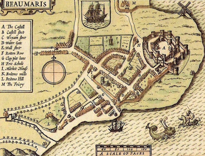
English: 17th century map of Beaumaris |
| Tarehe | |
| Chanzo | John Speed's "The Counties of Britain", 1610 |
| Mwandishi | John Speed, 17th century cartographer |
Hatimiliki
This media file is in the public domain in the United States. This applies to U.S. works where the copyright has expired, often because its first publication occurred prior to January 1, 1929, and if not then due to lack of notice or renewal. See this page for further explanation.
|
 | |
 |
This image might not be in the public domain outside of the United States; this especially applies in the countries and areas that do not apply the rule of the shorter term for US works, such as Canada, Mainland China (not Hong Kong or Macao), Germany, Mexico, and Switzerland. The creator and year of publication are essential information and must be provided. See Wikipedia:Public domain and Wikipedia:Copyrights for more details.
|
Historia ya faili
Bonyeza tarehe/saa kuona faili kama ilivyoonekana wakati huo.
| Tarehe/Saa | Picha ndogo | Vipimo | Mtumiaji | Maelezo | |
|---|---|---|---|---|---|
| sasa hivi | 07:07, 16 Septemba 2012 | | 830 × 632 (762 KB) | Hchc2009 | User created page with UploadWizard |
Matumizi ya faili
Hakuna kurasa zozote zinazotumia faili hii.
Matumizi ya faili ulimwenguni
Wiki nyingine hutumia faili hizi:
- Matumizi kwa en.wikipedia.org
- Matumizi kwa fr.wikipedia.org
- Matumizi kwa he.wikipedia.org
- Matumizi kwa ja.wikipedia.org
- Matumizi kwa ln.wikipedia.org
- Matumizi kwa mt.wikipedia.org
- Matumizi kwa pt.wikipedia.org
- Matumizi kwa sl.wikipedia.org
- Matumizi kwa uk.wikipedia.org
- Matumizi kwa vi.wikipedia.org