
Faili:LA County Incorporated Areas Lakewood highlighted.svg

Size of this PNG preview of this SVG file: piseli 730 × 599. Ukubwa zingine: piseli 292 × 240 | piseli 585 × 480 | piseli 935 × 768 | piseli 1,247 × 1,024 | piseli 2,494 × 2,048 | piseli 950 × 780.
Faili halisi (faili la SVG, husemwa kuwa piseli 950 × 780, saizi ya faili: 261 KB)
| Faili hili linatoka Wikimedia Commons. Maelezo yapo kule kwenye ukurasa wake wa maelezo unaonekana hapo chini.
|
Muhtasari
| Maelezo |
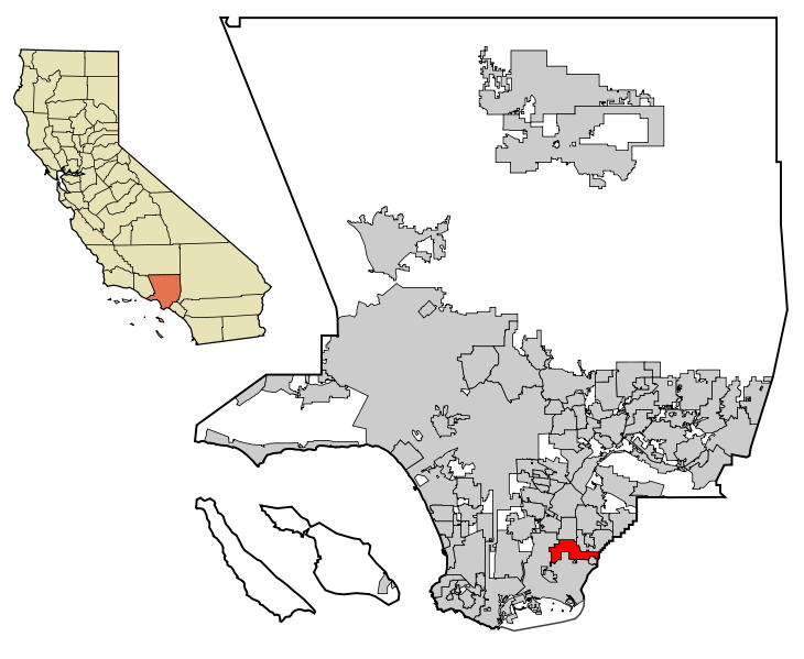
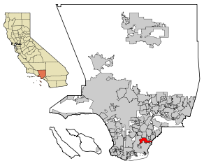
This map shows the unincorporated and incorporated areas in Los Angeles County, California.
|
| Tarehe | |
| Chanzo | My own work, based on public domain information. Though I strove to be as accurate in the detail as possible, the information shown is not guaranteed to be completely accurate. |
| Mwandishi | Ixnayonthetimmay |
| Ruhusa (Kutumia faili tena) |
Public Domain |
| Matoleo mengine | See Category:Maps of Los Angeles County for other versions of this image. |
Hatimiliki
| I, the copyright holder of this work, release this work into the public domain. This applies worldwide. Katika nchi zingine hii haiwezekani kisheria; kama ni hivyo: I grant anyone the right to use this work for any purpose, without any conditions, unless such conditions are required by law. |
Historia ya faili
Bonyeza tarehe/saa kuona faili kama ilivyoonekana wakati huo.
| Tarehe/Saa | Picha ndogo | Vipimo | Mtumiaji | Maelezo | |
|---|---|---|---|---|---|
| sasa hivi | 05:08, 29 Juni 2007 | | 950 × 780 (261 KB) | Ixnayonthetimmay | == Summary == {{Information |Description=This map shows the incorporated areas in Los Angeles County, California. Lakewood is highlighted in red. I |
Matumizi ya faili
Ukurasa huu umeunganishwa na faili hili:
Matumizi ya faili ulimwenguni
Wiki nyingine hutumia faili hizi:
- Matumizi kwa af.wikipedia.org
- Matumizi kwa fa.wikipedia.org
- Matumizi kwa it.wikipedia.org
- Matumizi kwa ja.wikipedia.org
- Matumizi kwa no.wikipedia.org
- Matumizi kwa pnb.wikipedia.org
- Matumizi kwa pt.wikipedia.org
- Matumizi kwa ru.wikipedia.org
- Matumizi kwa sr.wikipedia.org
- Matumizi kwa ur.wikipedia.org