
Faili:Arunachal Pradesh locator map.svg

Faili halisi (faili la SVG, husemwa kuwa piseli 2,393 × 1,956, saizi ya faili: 263 KB)
| Faili hili linatoka Wikimedia Commons. Maelezo yapo kule kwenye ukurasa wake wa maelezo unaonekana hapo chini.
|
| Title |
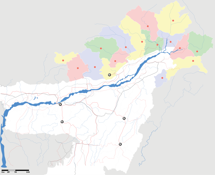
Arunachal Pradesh locator Map. Coordinates: top=29.49, bottom=23.74, left=89.61, right=97.52. |
||
| Description |
Map of w:Arunachal Pradesh with road and rail lines |
||
| Tarehe | |||
| Chanzo |
Kazi yangu |
||
| Muumbaji |
|
||
| Ruhusa (Kutumia faili tena) |
I, the copyright holder of this work, hereby publish it under the following license: Faili hii imeidhinishwa chini ya Creative Commons Attribution- Attribution-Share Alike 3.0 Unported leseni.
|
||
| Geotemporal data | |||
| Date depicted | second half of 20 century na 21 century | ||
| Georeferencing | If inappropriate please set warp_status = skip to hide. | ||
| Archival data | |||
| Notes | Part of WikiProject India Maps | ||
derivative works
Derivative works of this file: India Arunachal Pradesh location map.svg
Historia ya faili
Bonyeza tarehe/saa kuona faili kama ilivyoonekana wakati huo.
| Tarehe/Saa | Picha ndogo | Vipimo | Mtumiaji | Maelezo | |
|---|---|---|---|---|---|
| sasa hivi | 19:04, 16 Aprili 2007 | | 2,393 × 1,956 (263 KB) | Planemad | {{WikiProject_India_Maps |Title=Arunachal Pradesh locator Map |Description=Map of w:Arunachal Pradesh with road and rail lines |Source= [http://www.iitg.ernet.in/rcilts/assam_political.jpg IIT Guwahati - Assam Political map], [http://arunachalgovernor |
Matumizi ya faili
Ukurasa huu umeunganishwa na faili hili:
Matumizi ya faili ulimwenguni
Wiki nyingine hutumia faili hizi:
- Matumizi kwa ast.wikipedia.org
- Matumizi kwa as.wikipedia.org
- Matumizi kwa awa.wikipedia.org
- Matumizi kwa ba.wikipedia.org
- Matumizi kwa ca.wikipedia.org
- Matumizi kwa ceb.wikipedia.org
- Matumizi kwa de.wikipedia.org
- Matumizi kwa dty.wikipedia.org
- Matumizi kwa dv.wikipedia.org
- Matumizi kwa en.wikipedia.org
- Matumizi kwa es.wikipedia.org
- Matumizi kwa fa.wikipedia.org
- Matumizi kwa fr.wikipedia.org
- Matumizi kwa hif.wikipedia.org
- Matumizi kwa hi.wikipedia.org
- Matumizi kwa hr.wikipedia.org
- Matumizi kwa id.wikipedia.org
- Matumizi kwa incubator.wikimedia.org
- Matumizi kwa ja.wikipedia.org
- Matumizi kwa ka.wikipedia.org
- Matumizi kwa kbd.wikipedia.org
- Matumizi kwa mai.wikipedia.org
- Matumizi kwa ml.wikipedia.org
- Matumizi kwa ms.wikipedia.org
- Matumizi kwa new.wikipedia.org
- Matumizi kwa nl.wikipedia.org
Tazama matumizi zaidi ya kimataifa ya faili hii.