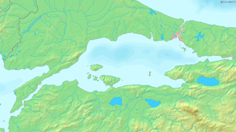
Faili:Sea of Marmara map.png

Ukubwa wa hakikisho: piseli 800 × 448. Ukubwa zingine: piseli 320 × 179 | piseli 640 × 358 | piseli 1,336 × 748.
Faili halisi (piseli 1,336 × 748, saizi ya faili: 334 KB, aina ya MIME: image/png)
Historia ya faili
Bonyeza tarehe/saa kuona faili kama ilivyoonekana wakati huo.
| Tarehe/Saa | Picha ndogo | Vipimo | Mtumiaji | Maelezo | |
|---|---|---|---|---|---|
| sasa hivi | 17:37, 6 Septemba 2005 |  | 1,336 × 748 (334 KB) | Mats Halldin~commonswiki | Map of the Sea of Marmara Bounding box West 26°, South 39.8°, East 30°, North 41.5°. {{demis-pd}} Category:Maps of Turkey |
Matumizi ya faili
Ukurasa huu umeunganishwa na faili hili:
Matumizi ya faili ulimwenguni
Wiki nyingine hutumia faili hizi:
- Matumizi kwa af.wikipedia.org
- Matumizi kwa am.wikipedia.org
- Matumizi kwa ang.wikipedia.org
- Matumizi kwa ar.wikipedia.org
- Matumizi kwa azb.wikipedia.org
- Matumizi kwa az.wikipedia.org
- Matumizi kwa ba.wikipedia.org
- Matumizi kwa br.wikipedia.org
- Matumizi kwa bs.wikipedia.org
- Matumizi kwa ca.wikipedia.org
- Matumizi kwa ce.wikipedia.org
- Matumizi kwa ckb.wikipedia.org
- Matumizi kwa cs.wikipedia.org
- Matumizi kwa cv.wikipedia.org
- Matumizi kwa cy.wikipedia.org
- Matumizi kwa da.wikipedia.org
- Matumizi kwa de.wikipedia.org
- Matumizi kwa diq.wikipedia.org
- Matumizi kwa dsb.wikipedia.org
- Matumizi kwa el.wikipedia.org
- Matumizi kwa el.wiktionary.org
- Matumizi kwa en.wikipedia.org
- Matumizi kwa en.wiktionary.org
- Matumizi kwa eo.wikipedia.org
- Matumizi kwa es.wikipedia.org
- Matumizi kwa et.wikipedia.org
- Matumizi kwa fa.wikipedia.org
- Matumizi kwa fi.wikipedia.org
- Matumizi kwa fr.wikipedia.org
Tazama matumizi zaidi ya kimataifa ya faili hii.
