
Faili:Invercargill.png
Ukubwa wa hakikisho: piseli 460 × 599. Ukubwa zingine: piseli 184 × 240 | piseli 520 × 677.
Faili halisi (piseli 520 × 677, saizi ya faili: 11 KB, aina ya MIME: image/png)
| Faili hili linatoka Wikimedia Commons. Maelezo yapo kule kwenye ukurasa wake wa maelezo unaonekana hapo chini.
|
Muhtasari
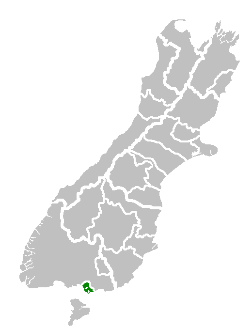
| Maelezo | Map of South Island showing location of Invercargill Territorial Authority. |
| Tarehe | |
| Chanzo | Own work of author |
| Mwandishi | en:User:Furius |
Hatimiliki
| |
This work has been released into the public domain by its author, Furius, at the Kiingereza Wikipedia project. This applies worldwide. In case this is not legally possible: |
Historia ya faili
Bonyeza tarehe/saa kuona faili kama ilivyoonekana wakati huo.
| Tarehe/Saa | Picha ndogo | Vipimo | Mtumiaji | Maelezo | |
|---|---|---|---|---|---|
| sasa hivi | 16:12, 31 Januari 2008 | | 520 × 677 (11 KB) | Andy king50 | {{PD-user-w|en|English Wikipedia|Furius}} {{Information |Description=Map of South Island showing location of Invercargill Territorial Authority. |Source=Own work of author |Date=8 December 2006 |Author=en:User:Furius |other_versions= }} |
Matumizi ya faili
Ukurasa huu umeunganishwa na faili hili:
Matumizi ya faili ulimwenguni
Wiki nyingine hutumia faili hizi:
- Matumizi kwa ar.wikipedia.org
- Matumizi kwa arz.wikipedia.org
- Matumizi kwa ca.wikipedia.org
- Matumizi kwa en.wikipedia.org
- Matumizi kwa eo.wikipedia.org
- Matumizi kwa es.wikipedia.org
- Matumizi kwa eu.wikipedia.org
- Matumizi kwa fa.wikipedia.org
- Matumizi kwa fr.wikipedia.org
- Matumizi kwa fy.wikipedia.org
- Matumizi kwa ga.wikipedia.org
- Matumizi kwa gl.wikipedia.org
- Matumizi kwa it.wikipedia.org
- Matumizi kwa ja.wikipedia.org
- Matumizi kwa la.wikipedia.org
- Matumizi kwa ms.wikipedia.org
- Matumizi kwa nn.wikipedia.org
- Matumizi kwa pt.wikipedia.org
- Matumizi kwa ro.wikipedia.org
- Matumizi kwa simple.wikipedia.org
- Matumizi kwa th.wikipedia.org
- Matumizi kwa tr.wikipedia.org
- Matumizi kwa uk.wikipedia.org
- Matumizi kwa ur.wikipedia.org
- Matumizi kwa vi.wikipedia.org
- Matumizi kwa vo.wikipedia.org
- Matumizi kwa www.wikidata.org
- Matumizi kwa zh.wikipedia.org